

In a world increasingly dominated by digital navigation tools, it’s easy to forget the artistry and utility of traditional maps. However, Ordnance Survey (OS), a venerable institution in the United Kingdom, reminds us that there is still something magical about the tactile feel of a paper map in your hands. Beyond paper maps, Ordnance Survey offers an array of tools and resources that cater to every adventurer’s needs. In this exploration, we dive into the treasure trove of Ordnance Survey‘s offerings, from iconic paper maps to innovative digital solutions, guidebooks, and even custom-made adventure gear.
Unfolding the OS Universe
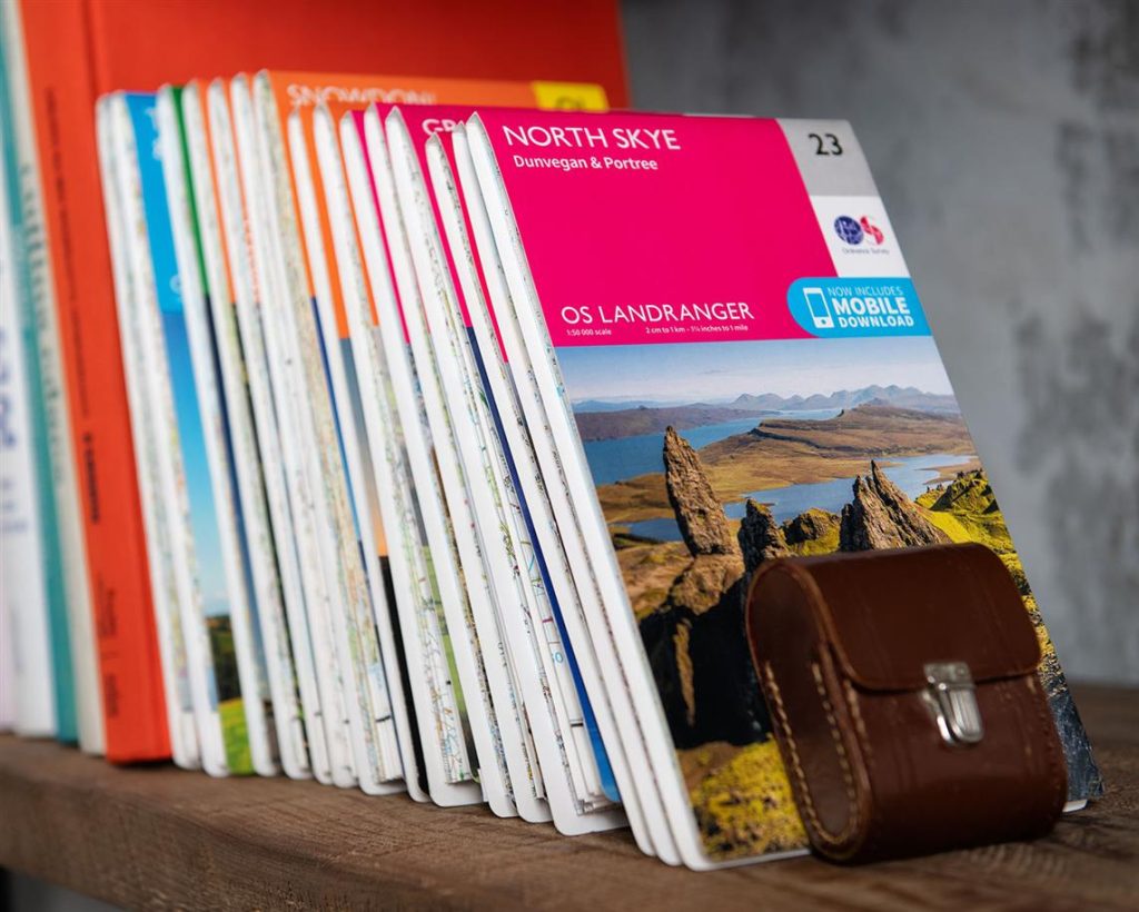
OS Paper Maps
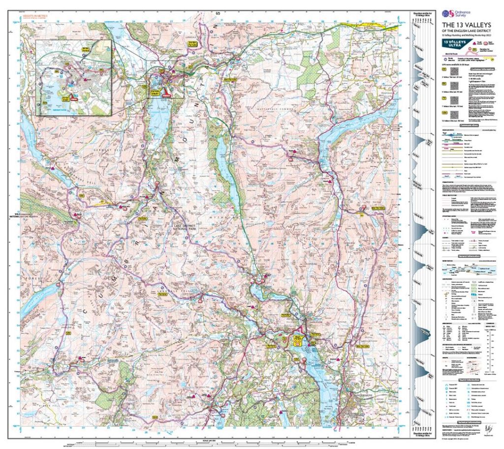
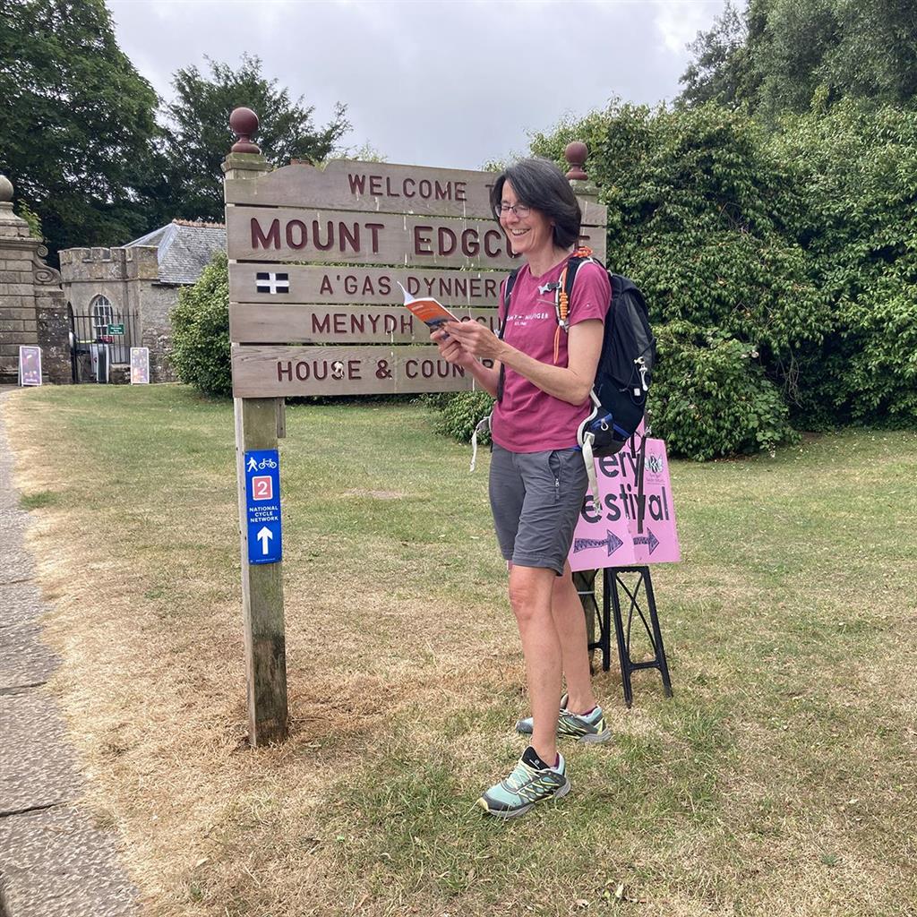
The heart and soul of Ordnance Survey lies in its paper maps. These meticulously crafted navigational aids come in various series. The Explorer Maps are perfect for detailed exploration, while the Landranger Maps provide a broader perspective of the terrain. Whether you’re embarking on a hike through the Lake District or planning a road trip along the Scottish Highlands, Ordnance Survey paper maps are your trusty companions.
International Map Sets
Ordnance Survey‘s expertise extends beyond the UK. With their International Map Sets, you can chart your course through foreign lands with the same precision and clarity that make Ordnance Survey maps famous. From the lush vineyards of France to the rugged landscapes of New Zealand, Ordnance Survey ensures that you never lose your way.
Urban Adventures

City & Street Maps
City slickers, rejoice! Ordnance Survey hasn’t forgotten about you. Their City & Street Maps provide the perfect guide to navigate the labyrinthine streets of bustling metropolises. Whether you’re exploring the hidden corners of London or discovering the culinary delights of Edinburgh, these maps are your urban compass.
Road & Tour Maps
For those who prefer life on the open road, Ordnance Survey offers Road & Tour Maps. These guides are ideal for road trippers, motorcyclists, and anyone with a thirst for adventure. Unearth the scenic routes and hidden gems of the UK with Ordnance Survey by your side.
Personalize Your Journey
Custom Made
Ordnance Survey understands that adventurers are a diverse bunch. That’s why they offer Custom Made maps. You can select the area, scale, and style that suits your unique journey. Whether it’s a wedding gift featuring the couple’s favorite hiking trail or a detailed map of your hometown, Ordnance Survey can create a map that’s as special as your adventure.
Specialized Exploration
Themed Maps
Ordnance Survey doesn’t just provide you with directions; they offer an experience. Themed Maps like ST&G’s Marvellous Maps turn your journey into an adventure. Discover maps that delve into history, showcase 3D relief, or even those that you can scratch off as you explore.
Historical Maps
Delve into the past with Ordnance Survey‘s Historical Maps. These treasures offer a glimpse into how the landscape has evolved over centuries. It’s a unique way to connect with the history of a place as you tread its modern paths.
Fun and Games

Board Game & Jigsaw Maps
Ordnance Survey isn’t just about practicality; they cater to the playful spirit in us all. Board Game & Jigsaw Maps add an educational and entertaining twist to geography. Gather around with friends and family for a game night that’s both fun and educational.
Equip Yourself for Adventure
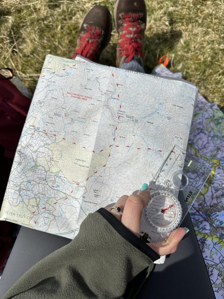
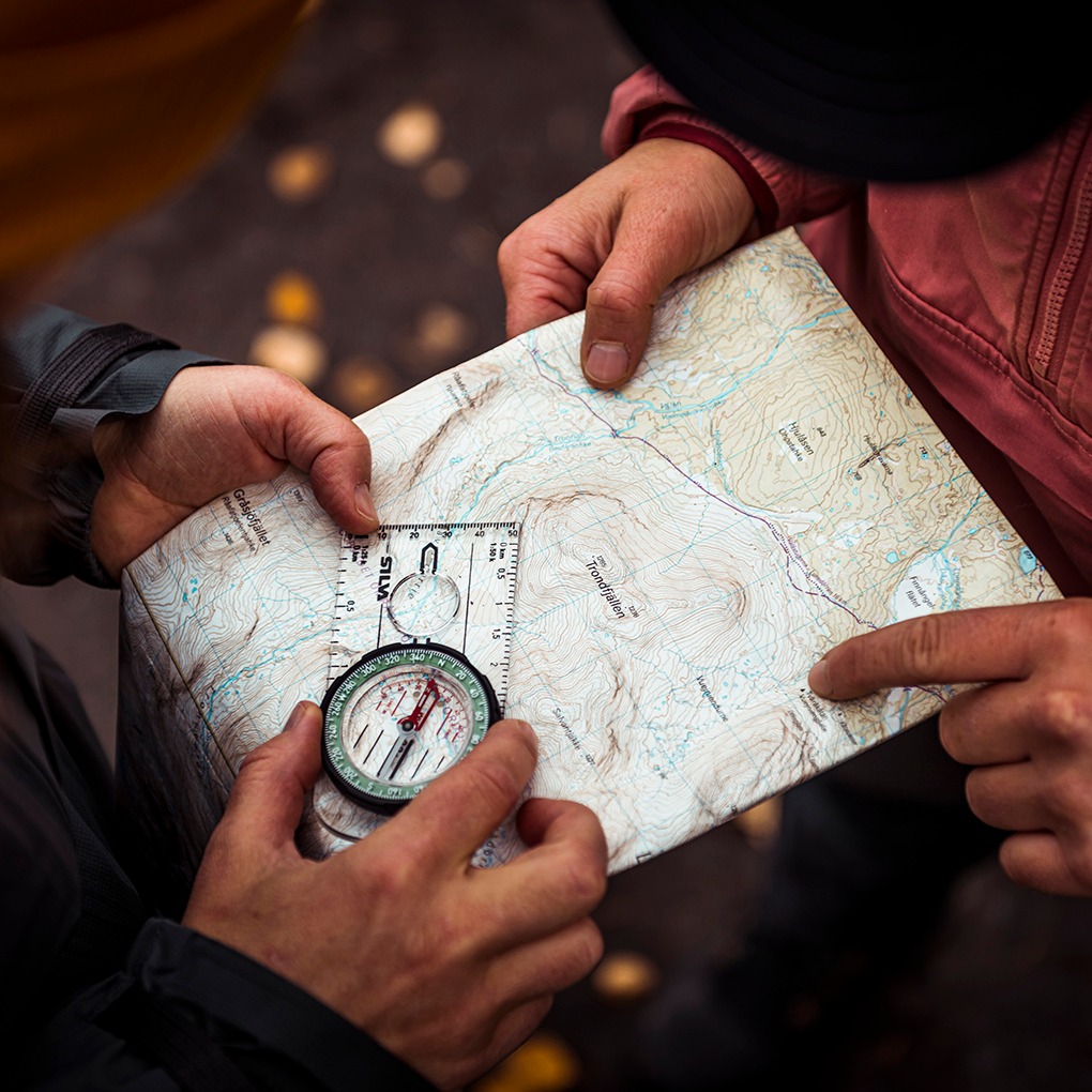
Map Accessories
Ordnance Survey understands that the right tools can make all the difference. That’s why they offer a range of Map Accessories. From compasses and map cases to GPS devices and magnifiers, they’ve got everything you need to enhance your outdoor experience.
Explore Beyond the Maps

OS Maps Subscriptions
But Ordnance Survey isn’t just about paper anymore. With OS Maps Subscriptions, you can access their digital resources. From logging into OS Maps for detailed digital maps to exploring their mobile app on Apple iTunes or Google Play, Ordnance Survey keeps up with the digital age.
Guidance Beyond the Maps
Guidebooks
Ordnance Survey goes the extra mile in helping you prepare for your adventures. Their Guidebooks are comprehensive resources for hikers, cyclists, runners, swimmers, climbers, and more. These guides provide insights, tips, and itineraries that can turn a simple trip into an unforgettable experience.
For the Young Adventurers
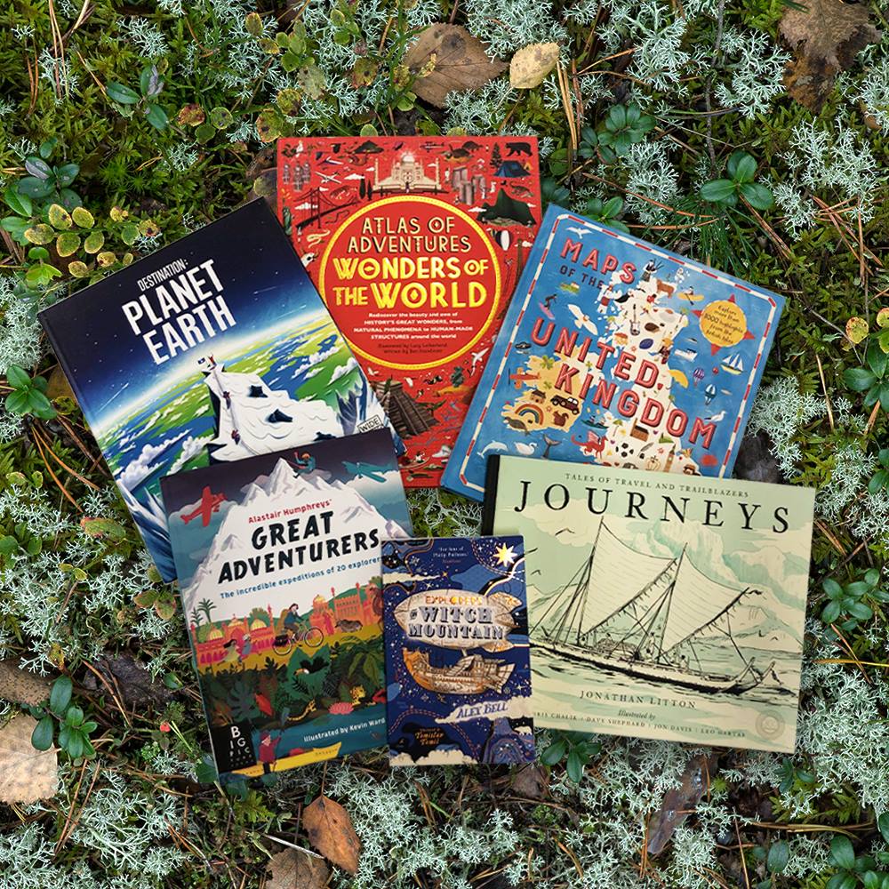
Children’s Maps
Ordnance Survey doesn’t forget the budding explorers either. Their Children’s Maps are educational tools disguised as fun adventures. These maps help kids discover the wonders of the world around them, sparking their curiosity for geography.
The Adventure Continues

OS Maps App
In the digital age, the Ordnance Survey adapts to your needs. The OS Maps App is a powerful tool for those who prefer their maps on their smartphones. It offers all the features you love about Ordnance Survey, conveniently at your fingertips.
Chart Your Adventure with Ordnance Survey
Ordnance Survey is more than just a cartographic institution; it’s a gateway to adventure. From the iconic paper maps that have guided generations to innovative digital tools, guidebooks, and custom-made maps, Ordnance Survey has your exploration needs covered. So, whether you’re planning a challenging trek in the Scottish Highlands or a leisurely stroll through a historic city, let Ordnance Survey be your trusted companion on your journey. With Ordnance Survey, every adventure is a step into a world of discovery.